A Walk in the Bob
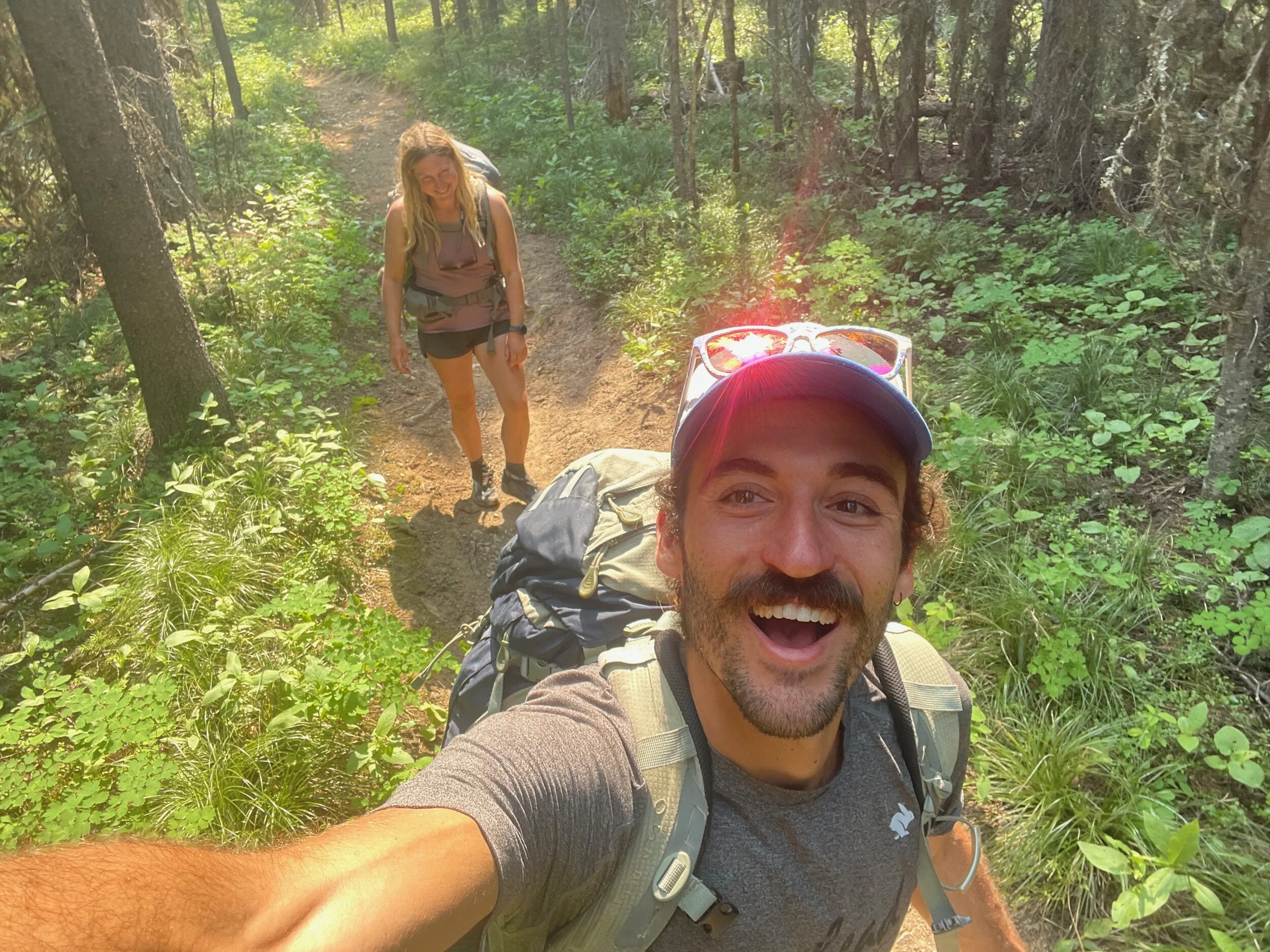
/There’s something about the “Bob” that is wildly enticing. Montana certainly has bigger mountains and more stunning alpine regions. But the allure of a complex of wilderness areas that make up nearly 1,600 contiguous square miles is too great to resist. Despite trying to suggest other areas to go for a post-race backpacking trip, Madison convinced me to go back to the “Bob”. I’m so glad she did.
I think at this point it’s become a bit of a tradition for Madison and I to go on a post-hard running effort backpacking in the Bob Marshall Wilderness Complex. Last year, we went on a three-day, 67-mile trip around the Chinese Wall. This year we had four days, and figured we would do a more “chill” itinerary. We were looking forward to fewer miles and some easier hiking. As seems to happen with most things we do, “chill” did not really happen. But we tried, at least for a second.
After pouring over maps for a few evenings, we came up with what we figured would be a pretty darned fun plan. I would drop Madison and our packs off at the Middle Fork Teton River Trailhead, then drive to the South Fork Teton River Trailhead. From there, I would leave the car and bike 16 miles back to Madison. Our walk would take us west over Route Creek Pass, across the massive North Fork of the Sun River valley, up Switchback Pass, south along the North Wall, then back east across the Sun River again and up over Headquarters Pass. From what we could tell, trail conditions would be ok. We had no clue how frequented these areas were. We read a few blog posts made a decade ago by a sweet old man and figured that was all the info we needed.
Day 1 - Middle Fork TH to Ninemile Park
As they say, the key to every successful backpacking trip is to pack incredibly last minute, go to bed stressed out at 2:00am, wake up after a few hours of sleep, drive 200 miles, and start hiking at 2:00pm. It’s best to start a long trip in a depleted state so you appreciate your partner and the surroundings more. Whether this is true or not is up for debate, but that’s exactly what happened.
I couldn’t help but feel very clever about the bike shuttle I’d devised. A big horse-shoe loop without repeating any trails? Heck yeah! I felt so clever, in fact, that I almost didn’t notice the bears I biked by 45 seconds into my 16 mile ride back to Madison. I looked to my left and noticed a cub in a tree at about eye-level, maybe 20 feet from me across the road. Weirdly, there was a moose as well. Ah, no, that’s just the massive head of a mama bear standing up staring at me. Nice. A lovely reminder that I need to be having even more conversations with myself out loud at a high volume.
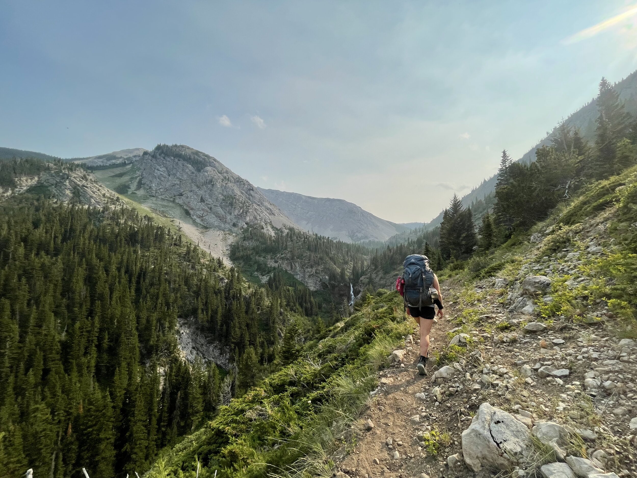
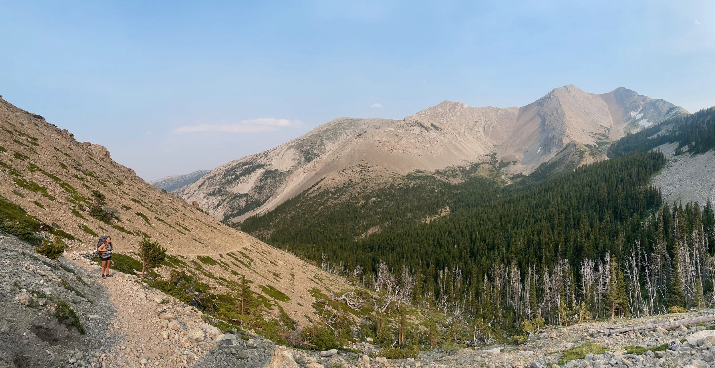
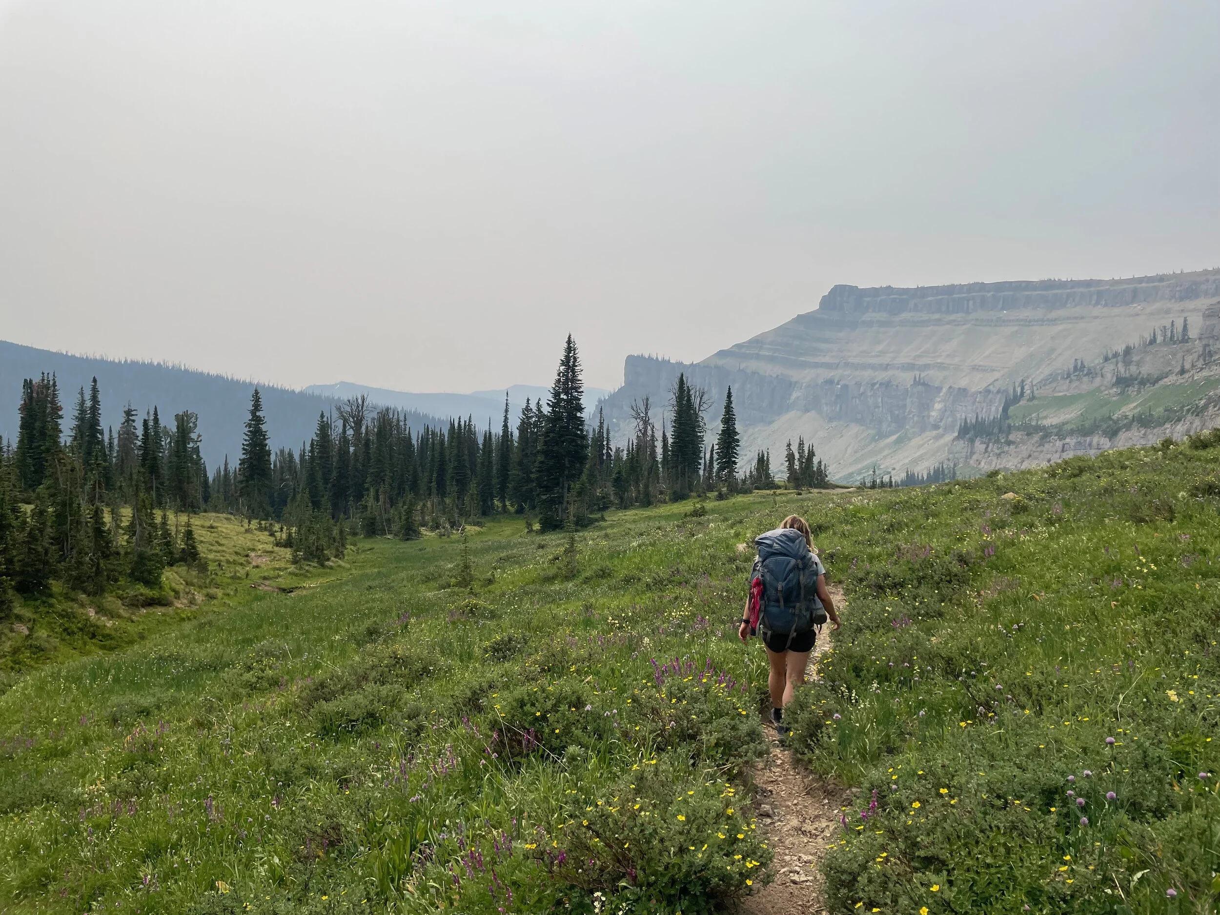
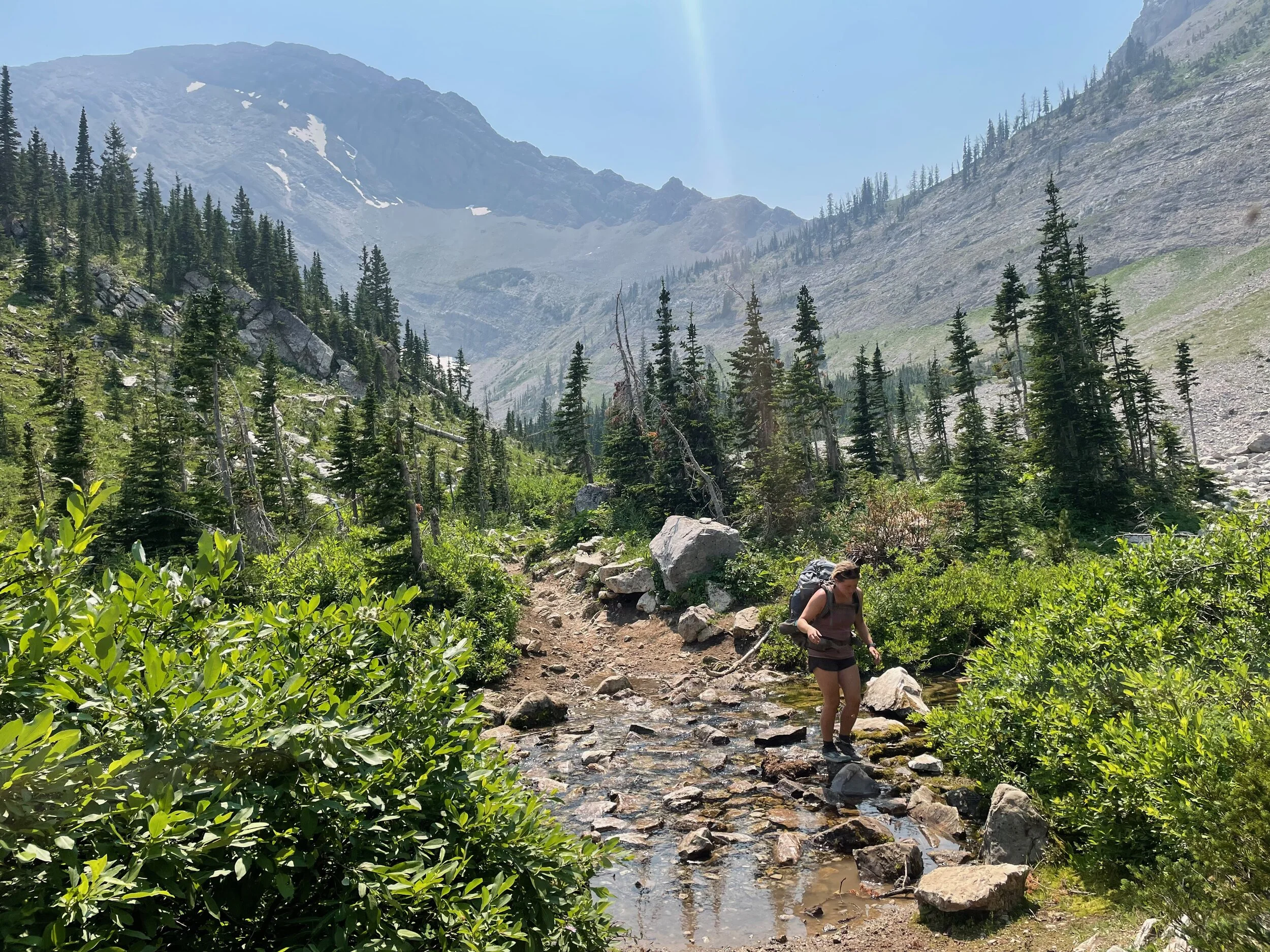
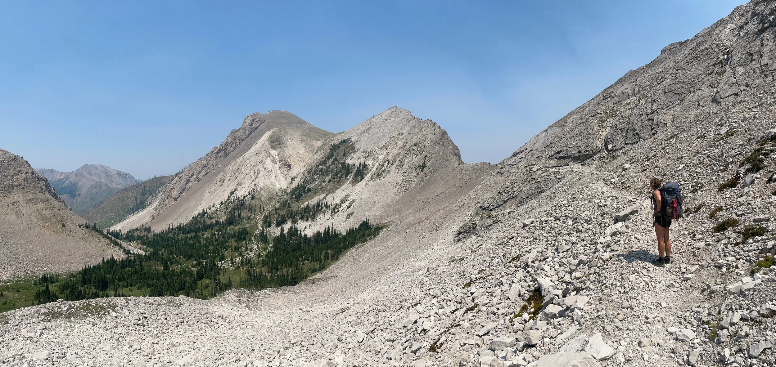
Honestly, I figured I was bound to get a flat biking back to Madison. I was working with a bumpy dirt road, no cell service, and a looming backpacking trip that started out with a several thousand feet climb which we would start in the afternoon. I was shocked when our luck held and I was able to get back to Madison in an hour. We got rolling and I quickly realized why so many fewer people access the Bob from the east side: you immediately have to go over a pass! Which, Madison and I both agreed, was why we were already LOVING this route. Passes mean big views and a change from the normal dense forest/burned forest of the Bob. We soaked in the beauty of the pass, a low point amongst peaks of massive scree fields. The peaks seemed almost naked, stripped of vegetation and jabbing into the skyline as humongous exposed piles of rocks. We descended and entered a lush wooded area before getting our feet wet in a stream as we crossed into Ninemile Park. We started cooking around 8:30pm, found a nook at the edge of a big clearing, and got to bed too late. Obviously.
Day 2 - Ninemile Park to Dean Lake
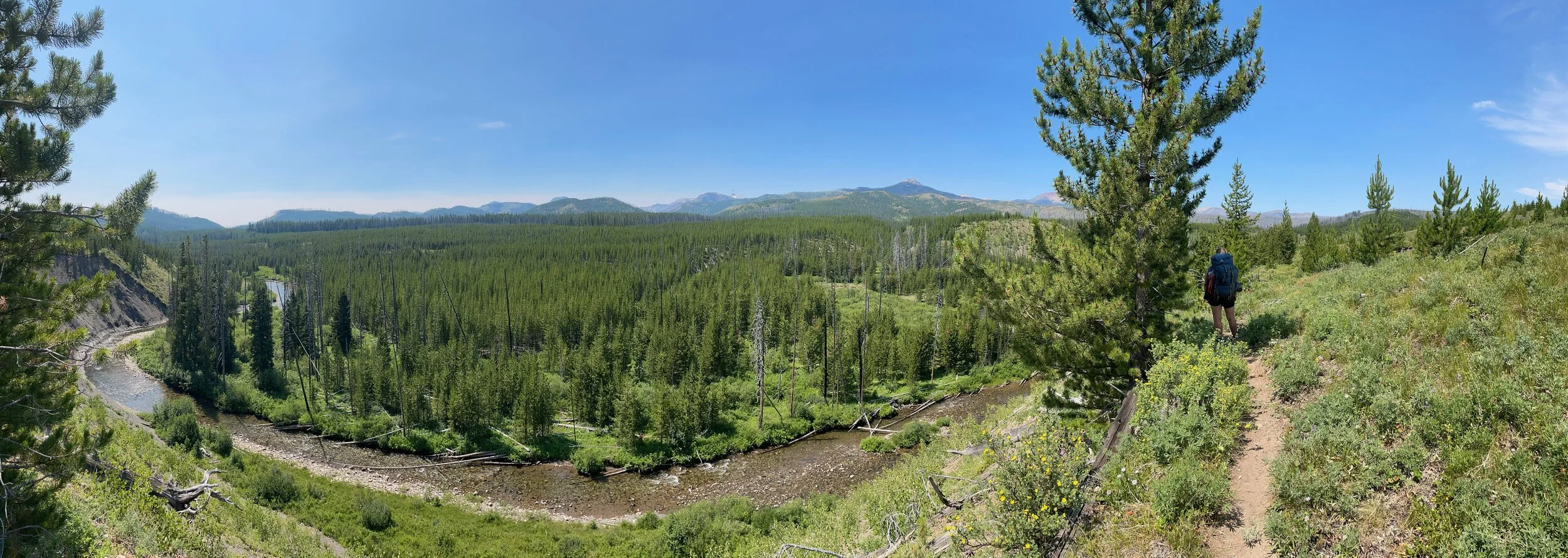
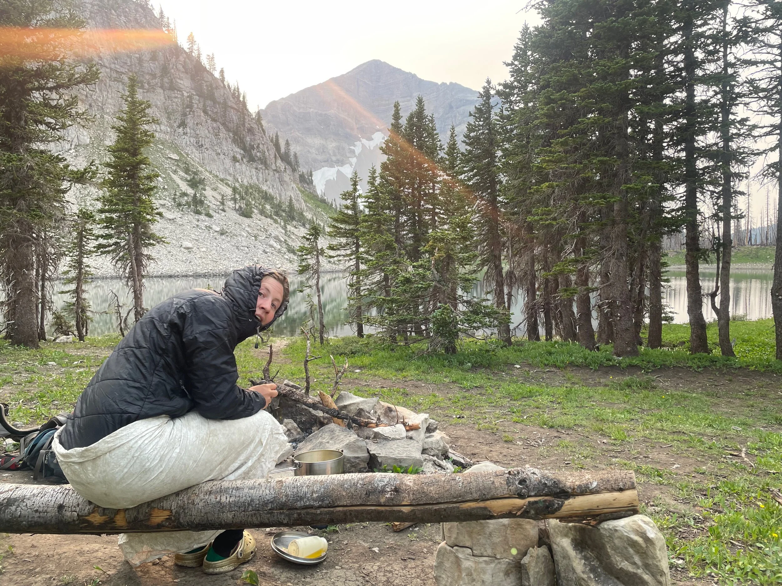
No alarms for these two! We slept in to make up for our comical lack of sleep from the day (and honestly, week) before. A late start had us leaving camp around 10:30am. This day was one of those days where I continually proclaimed, “Madison, look how BIG it is here!”. Approaching the North Fork of the Sun River, it was impossible to shake the feeling that we were tiny little creatures in a big, big land. Looking from a high bank of the Sun, a forest stretched out for miles until it rose to jagged peaks miles away. Everything was miles away. We were so small.
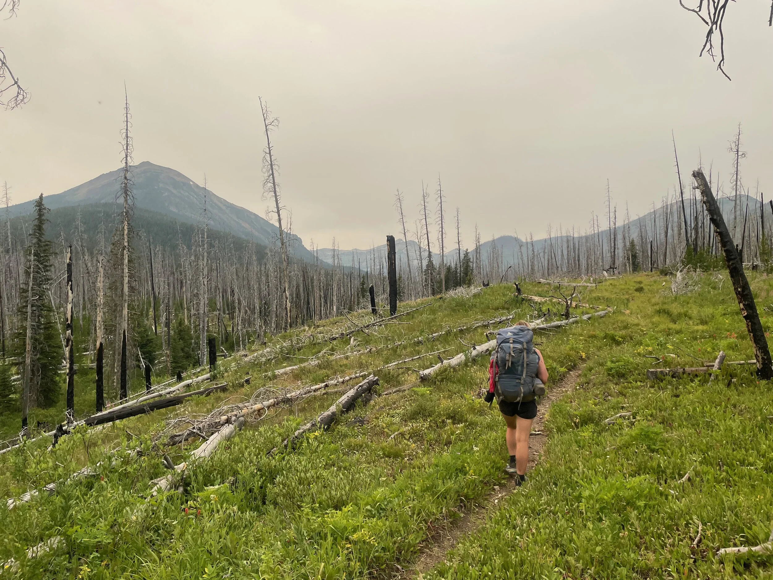
Green forest faded to burned forest. Naturally, this coincided with the heat of the day. A nice test to see how well we’d been hydrating. The burned forest then faded to living forest, but to replace the challenge of hot sun, we had a nice climb up to Switchback Pass. To be clear, we didn’t actually need to go over this pass. We were doing a four mile out and back to Dean Lake, because, ya know, because we were. Madison suggested it, and I was game. This was the best decision EVER.
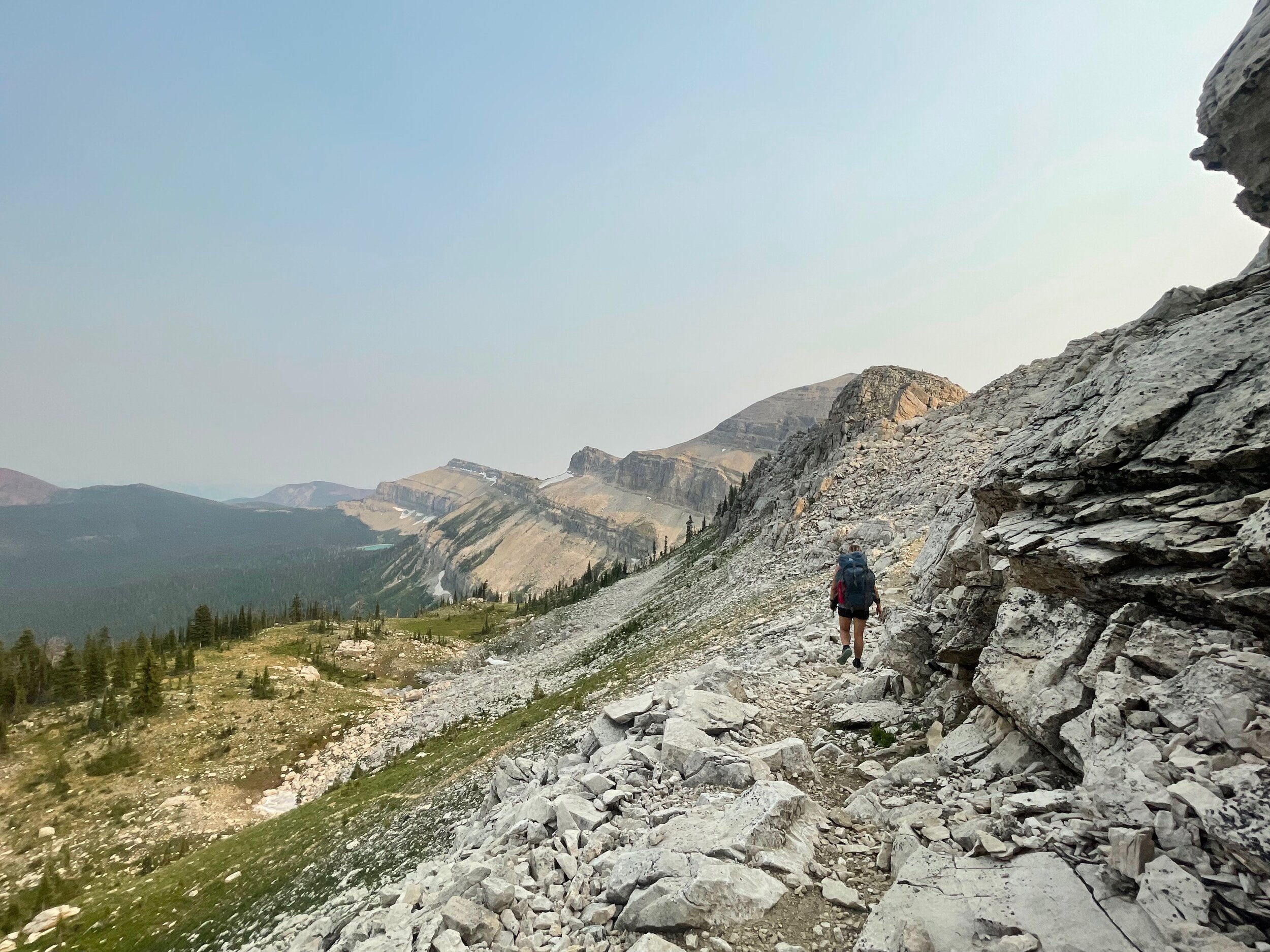
Approaching the pass, we had marvelous views of the North Wall. The North Wall is like the neglected sibling of the Chinese Wall to the south of us. Except the North Wall is so much more neat. At this point, we had seen one person. The trails weren’t pulverized by horses to dust like near the Chinese Wall. And the North Wall looked quite a bit bigger. From the pass, we had views west across the Sun River Valley, east to the Swan Range (though these were quickly becoming obscured by smoke), and south along the Wall. We descended, tired, very tired, to Dean Lake.
That should be the last paragraph of this section, but it would be a grave injustice to the wildlife of Dean Lake if I didn’t mention that we were haunted by possessed deer all night. Around 1:00am, three deer took turns running around our tent until dawn. They would stop five feet from our heads and start eating the grass. There wasn’t even that much grass there! But by golly it must be the best grass in the hold darned Bob. Sure sounded delicious since we could hear the deer chewing. In the morning, we found that one of the deer found an interest in Madison’s shirt. The shirt was no longer drying on a tree, but was not wrapped tightly around another tree some 30 feet away. The deer must have gotten tuckered out from all their fun the night before, as we didn’t see them that morning.
Day 3 - Dean Lake to Red Shale Creek
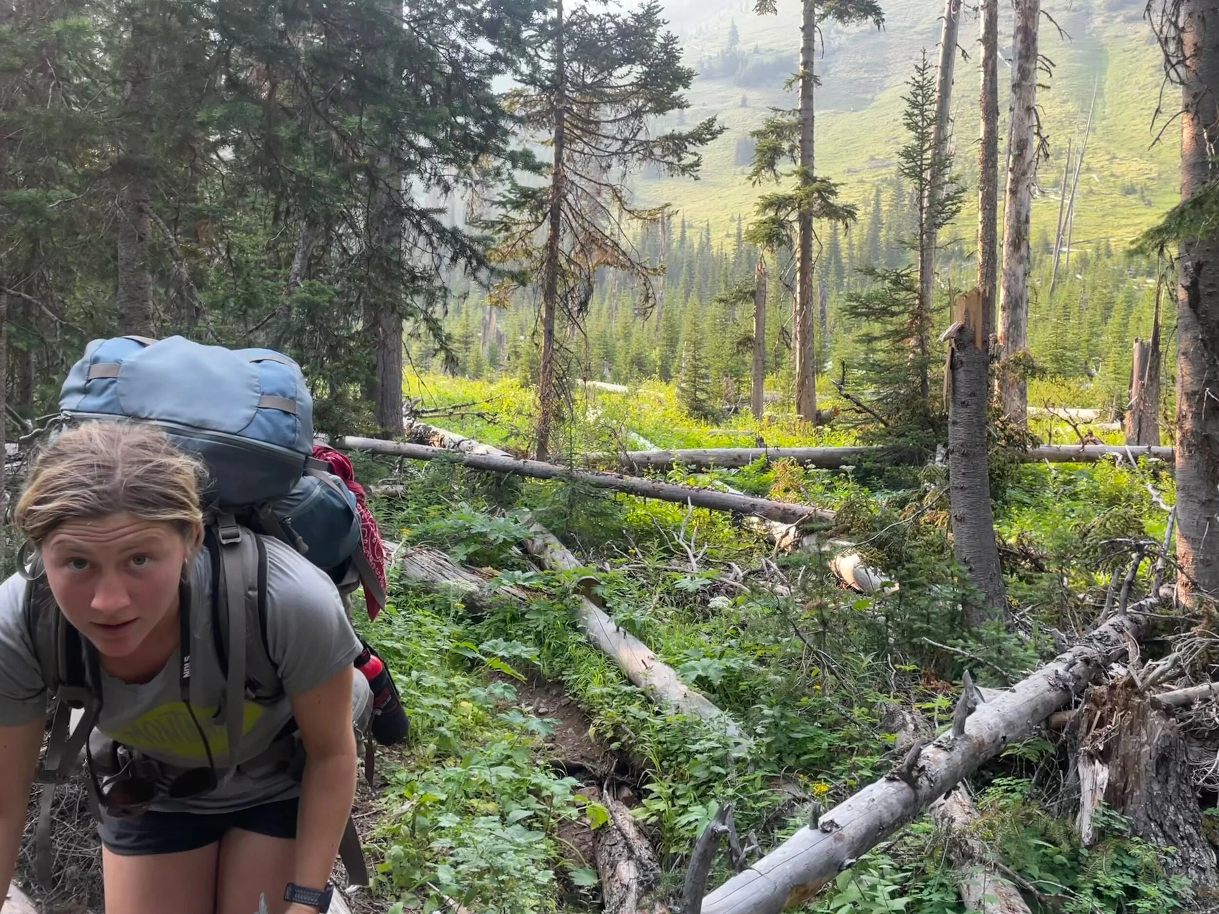
No backpacking trip is complete without a day that makes you go “oops, that took comically longer than anticipated.” At least, none of the backpacking trips Madison and I do together are complete without one of those. Or two. Or maybe three. A quick glance at the map told us we’d be traveling south under the North Wall all day, with a few short climbs in and out of four small creek basins. Unfortunately, the day warranted more than a “quick glance.” What we thought would be a 20 mile day with 1000’ of climbing turned into 22 with 4000’ of climbing. That would be tough, except we were also met with several miles of heinous downed trees. Like so many downed trees. We were just wandering through the woods at one point trying to find the trail. We hobbled into camp that night at 8:30pm. Literally hobbled. Madison’s feet were smashed, and my right leg was in immense pain from not loosening my shoe laces sooner. Classic.
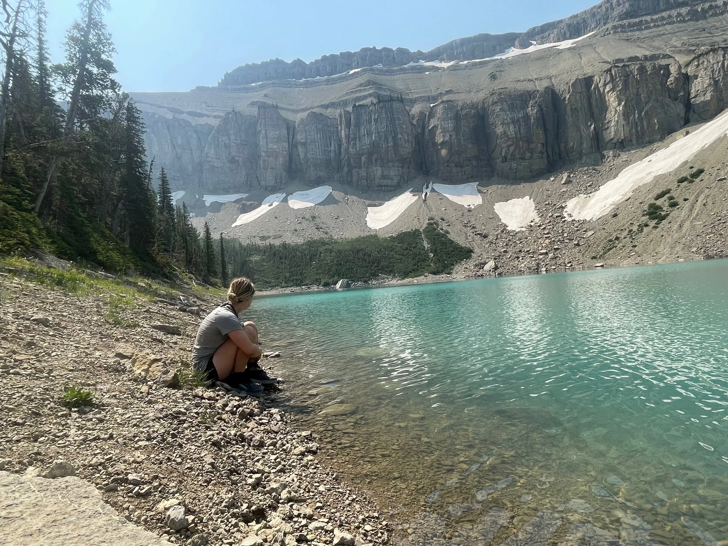
Despite the long day, the scenery was magnificent. We stopped at the marvelously blue Lake Lavale and kept saying “this is just stupendous!” as we traveled along the Wall. We also saw a massive bear around 7:30pm from a joyously safe distance. Somehow, even with both of us in pain for many miles in a day that was far longer than we wanted, we didn’t kill each other. That big bear didn’t kill us either. Winners winners!
Day 4 - Red Shale Creek to South Fork Teton trailhead
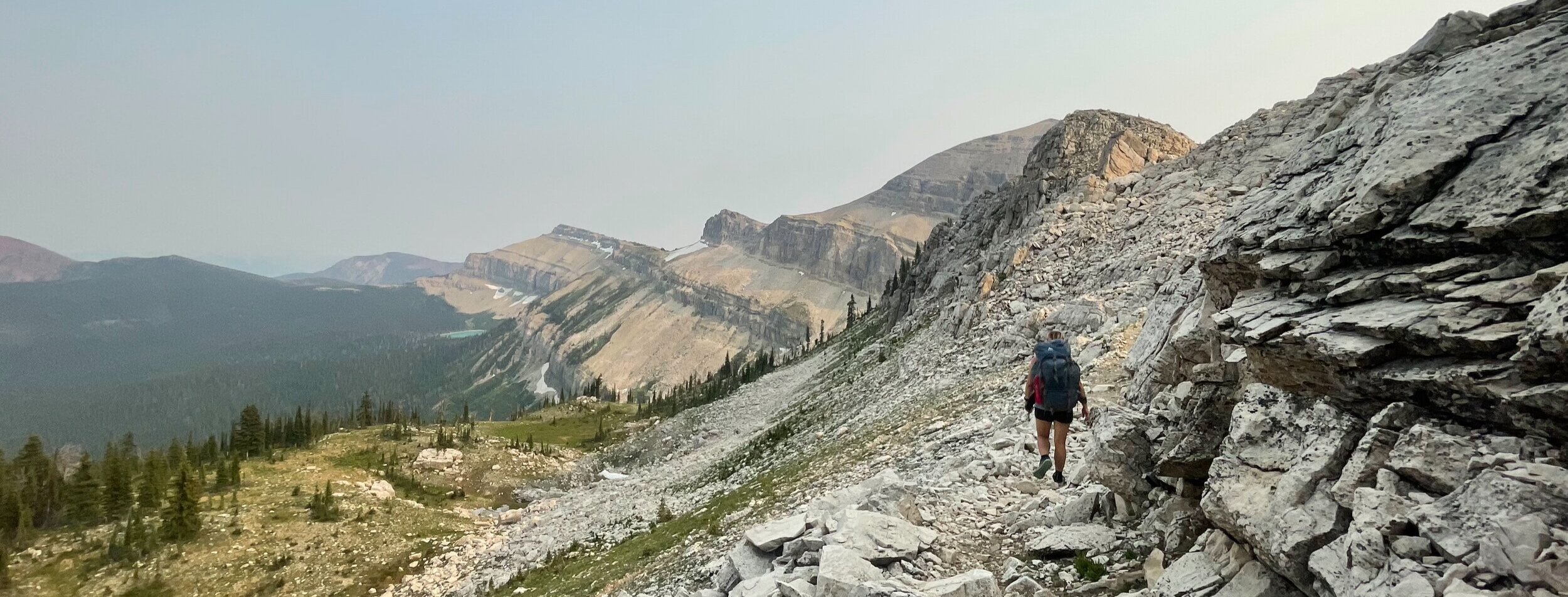
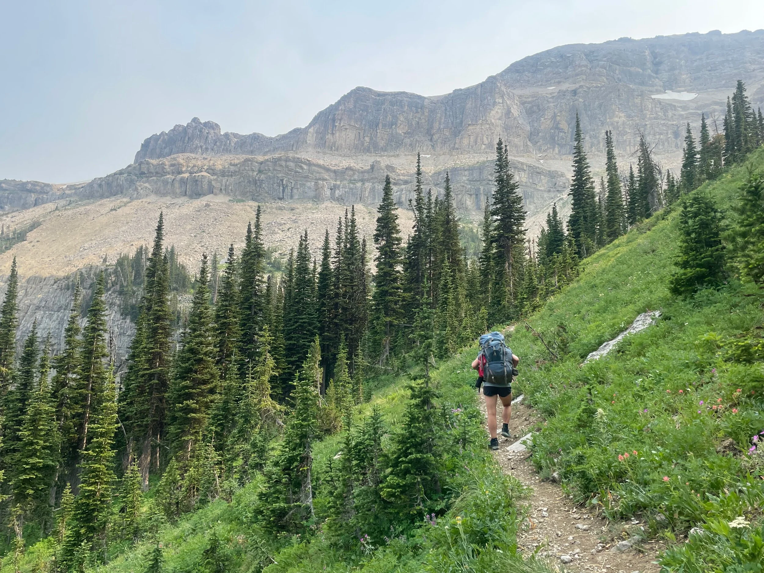
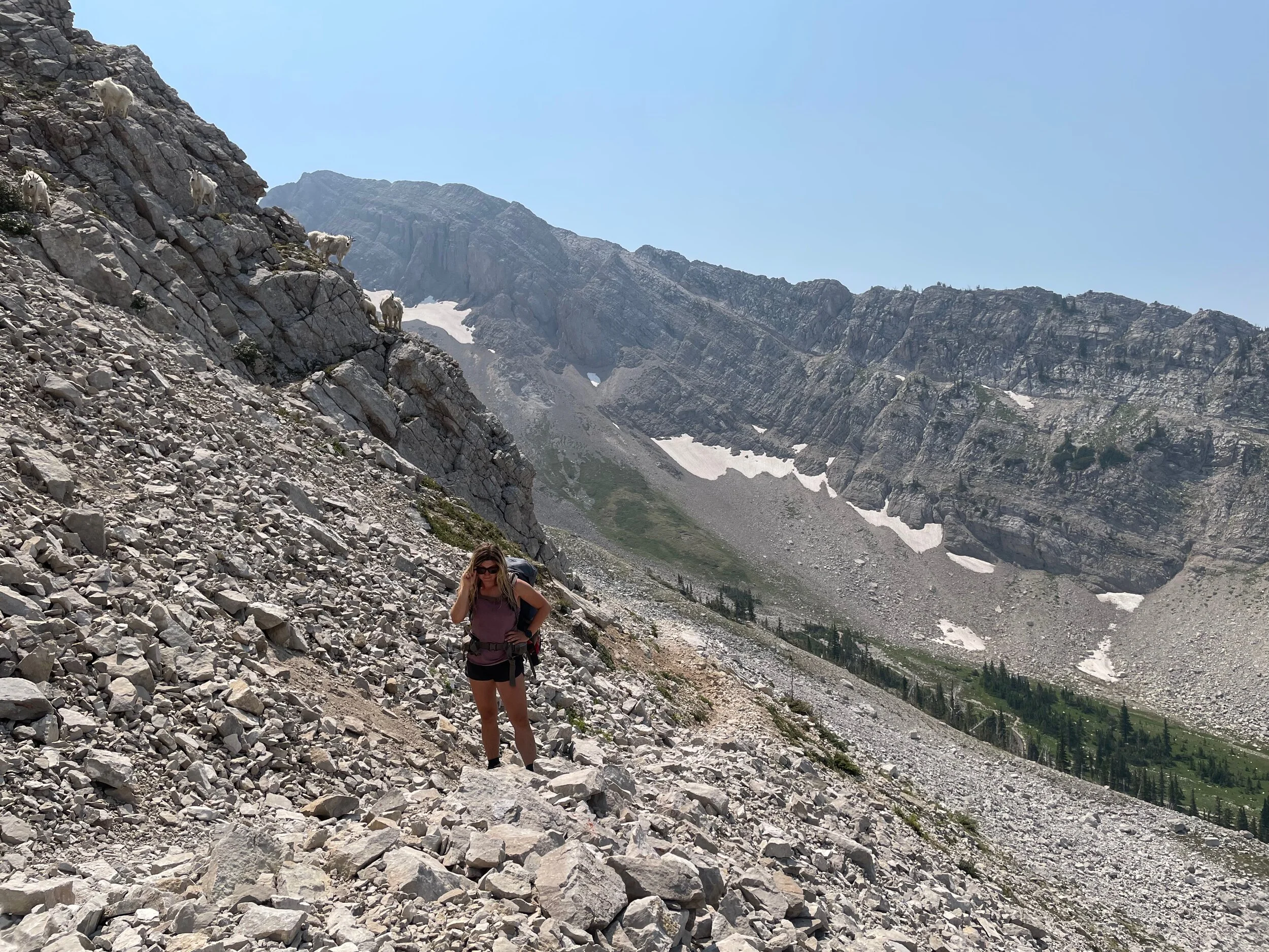
Another day of big, big views. We crossed the Sun River valley again, heading through Gates Park and the airstrip located there. Nothing quite like a random grassy field for airplanes in a wilderness area! We had a long, gentle climb up to Headquarters Pass on the docket for the day. The basin right below the pass was stunning. Surrounded by huge, crumbly, jagged mountains, flowery meadows were tucked into groves of subalpine fir. There was a distinct pop of color to the area. The contrast with the barren peaks only magnified this effect. We had a delightful climb on a narrow singletrack trail cut into a steep slope. The trail tantalizingly contoured through the talus and scree below Rocky Mountain, the second tallest peak in the wilderness area.
Perhaps my favorite moment of the trip was when Madison frantically said, “what is that?! Oh my god it’s a grizzly!” I looked up, a little frightened but also excited to see a grizzly. Instead, there were 10 friendly mountain goats on the trail up ahead. How Mads mistook mountain goats for a grizzly bear, I don’t know. But they were such a fun surprise at the end of our trip! They scampered around on the rocks and we scampered by to the top of the pass, AKA the best lunch spot ever. From there, it was an easy 4 mile cruise downhill to the car to wrap up another awesome trip in the Bob. Our trip ended up being 64 miles long with 13,000’ of climbing. A nice “chill” trip, like always ;P

